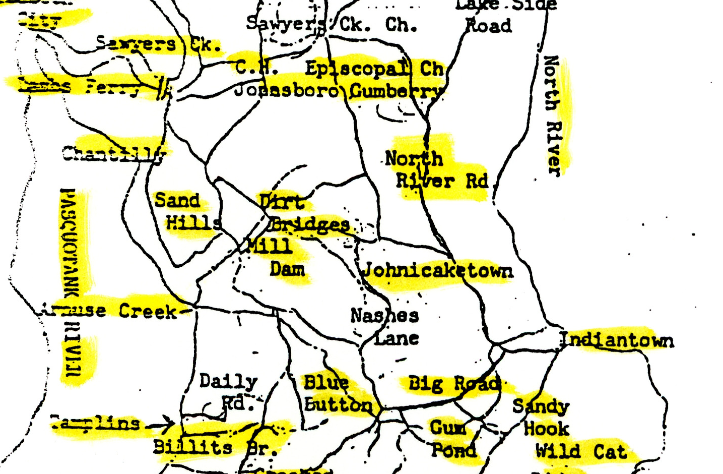
The label Johnicaketown appears east of Dirt Bridges / Mill Dam, north of Nashes Lane and west or northwest of Indiantown within this schematic. Its production date is unknown. The heading describes the landscape represented, not a verified creation date.
This map helps recover a place name. It does not establish a modern parcel, plantation boundary or Nichols grave location.
Source reference
Map of Camden County in 1830, undated schematic, Camden County Heritage Museum, Images of North Carolina, DigitalNC record 238067. Detail inspected against full image.