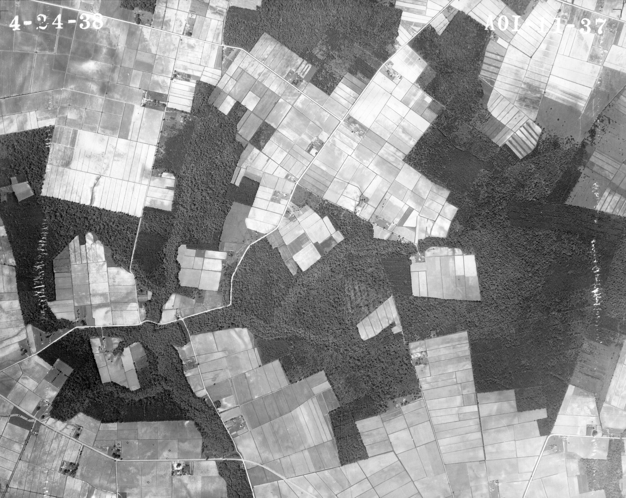
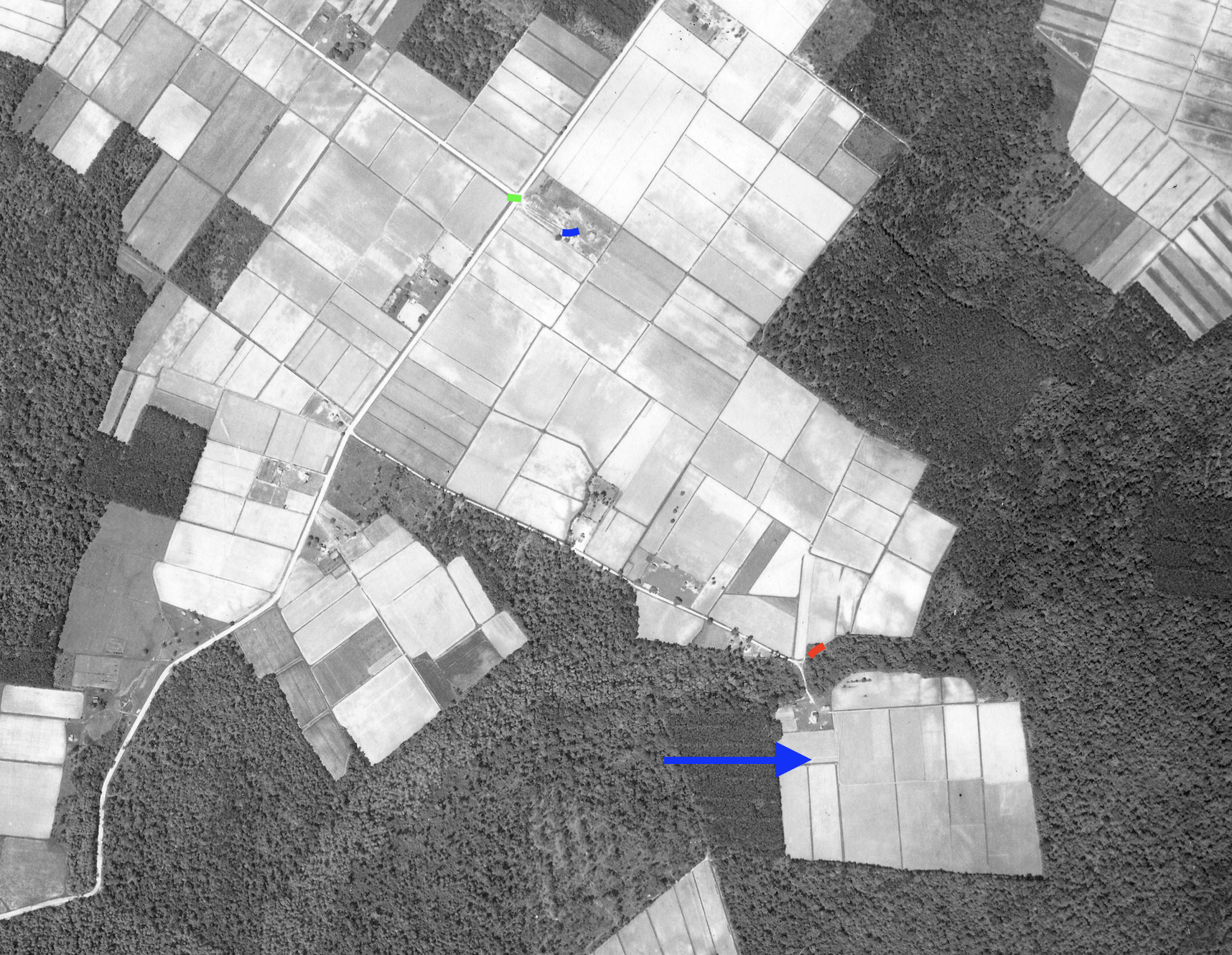
The full aerial bears the date 24 April 1938. Its companion marked view identifies the Johnnykin Town opening, Nichols graves, Pugh’s intersection and The Yaupons according to Steven Forehand’s local knowledge.
Compare these views with Jesse Forbes Pugh’s Journeys Through Camden County (1953), page 10. Visible field patterns do not by themselves identify buildings, owners or colonial boundaries. The supplied filename and visible frame number differ; the archive record is still being reconciled.
Source reference
Aerial dated 4-24-38, supplied by Steven Forehand from NC aerial photographs; filename camden_aot_11_46_40746633813_o_jonikintown.jpg; visible frame label ends 11-37. Companion annotations supplied 27 October 2026.